GeoTime is the industry’s only 3D mapping and analysis tool, capturing time and space.
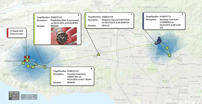
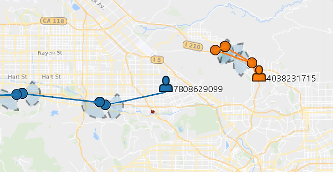
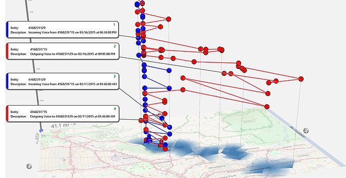
GeoTime is currently used by HIDTA’s, fusion centres, national defence organizations and law enforcement agencies worldwide for criminal investigations, intel analysis, surveillance operations and courtroom presentations.
GeoTime offers many solutions to cater to your analysis-based needs. This includes web-based, node-locked and concurrent systems for single to many user scenarios.
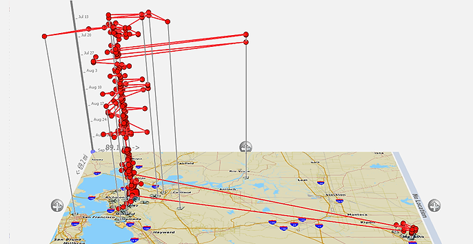
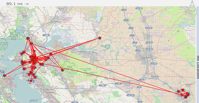
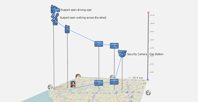
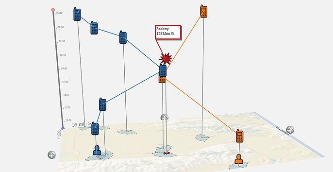
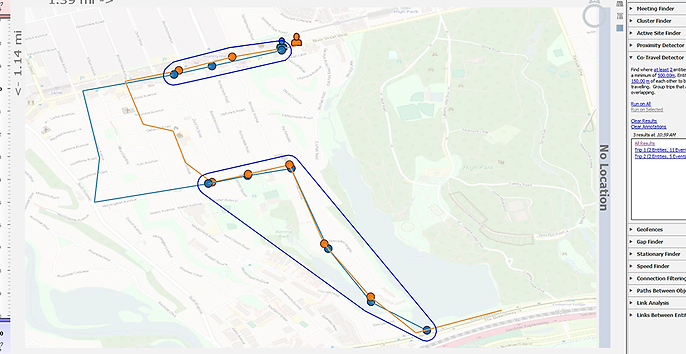
Using the right visual software has profound effects on the ability to explore large data sets, Geotime excels at this. Utilizing 3D space with time on the vertical axis, GeoTime empowers analysts to quickly understand a case and create annotations to bring it to prosecution quicker than traditional 2D models.
Read more here, or get in contact with the Cratos team for further information.